
New York City is in for a brutally cold, classically wintry week, with bitter wind chills through midweek and the season’s coldest Arctic blast poised to settle over the region by the weekend, potentially setting up dangerous conditions and even a high‑impact storm as January closes. After a brief “January thaw” earlier this month, forecasters say the pattern has flipped back to deep winter, and nearly everyone from the Rockies to the East Coast will feel it.
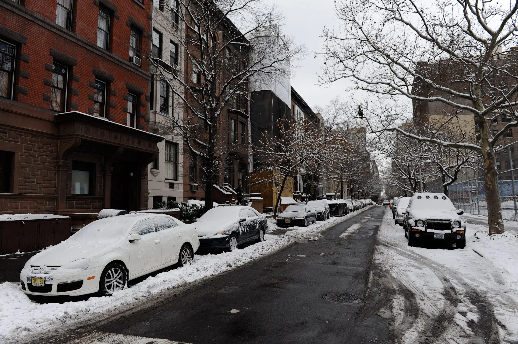
Early week: typical January cold, biting wind
A large slice of the country is under the grip of a winter pattern featuring multiple shots of cold air and light snow, and New York is firmly in that zone. NBC’s national outlook says Tuesday will be the coldest day of the week for the Northeast, with wind chills in New York City stuck in the single digits and teens for much of the day.
Typical daytime highs for mid‑January in the city are around the mid‑30s Fahrenheit, but the combination of air temperatures near or just below freezing and brisk northwest winds will make it feel significantly colder on exposed streets, bridges, and waterfronts. Light, passing snow showers are possible to the north and west, though forecasters do not expect significant accumulations in the five boroughs early in the week.
Commuters should expect icy platforms, slick side streets in the mornings and the kind of “brick” air New Yorkers describe when the wind slices between buildings, conditions local forecasters warn will dominate at least through midweek.
Late week: Arctic blast, coldest air of the season
The more dramatic turn arrives toward the end of the week. An Arctic air mass now building over the northern Plains and Upper Midwest is forecast to surge east and south starting Friday, delivering what meteorologists call the coldest air of the season so far, and potentially the coldest of the entire winter, to large parts of the Northeast, including New York City.
National forecasts project wind chills this weekend plunging to 20 to 30 degrees below zero in parts of New England and the interior Northeast, with sub‑zero wind chills possible even closer to the I‑95 corridor at times. For New York City, that translates into:
- Daytime highs struggling to escape the 20s Fahrenheit, with some neighborhoods possibly staying below freezing all day.
- Nighttime lows in the teens or single digits, especially in the outer boroughs and north of the city.
- Wind chills dipping below zero in the windiest spots late Saturday into Sunday, particularly along the Hudson and East River.
Local meteorologists and social media weather accounts are already warning that “the coldest air of the season will move into NYC starting this weekend and could continue into late January,” urging residents to prepare now rather than wait for temperatures to crash.
Snow and storm potential: still uncertain but worth watching
The wintry pattern brings not just cold but the potential for more active weather, especially as the Arctic front undercuts milder air to the south. NBC’s outlook highlights a second wave of winter weather later in the week that could prove “record‑breaking and disruptive” for parts of the central and southern U.S., with a high‑impact storm delivering widespread snow and ice from Friday through Sunday.
There is a chance that this developing system, or its northern fringe, could extend into the mid‑Atlantic and Northeast, including New York, over the weekend or early next week, but forecasters stress that details on the storm track, timing and precipitation type remain highly uncertain at this range. For now, the guidance suggests:
- Light snow or mixed precipitation is possible as the Arctic front moves through, especially north and west of the city.
- Any major snow or ice threat for New York would depend on how far north the southern storm can track into colder air, something models are still struggling to pin down.
Meteorologists say they are confident enough in the cold to warn the public but are holding off on specifics about snowfall totals until the storm’s path becomes clearer.
From “January thaw” to deep winter
This week’s forecast marks a sharp contrast with the “January thaw” New Yorkers enjoyed earlier in the month, when temperatures briefly surged into the 50s and even flirted with 60°F, prompting residents to trade parkas for light jackets and outdoor lunches. That warm spell, which weather blogs noted is a recurring Northeast pattern when the jet stream lifts north and allows Southern air to surge in, was destined to be temporary.
Historical data show that an average January in New York City hovers in the low 30s Fahrenheit, and the National Weather Service’s seasonal outlook had already called for a generally cold, active winter in the Northeast thanks to broader patterns over the Pacific and Arctic. With this week’s Arctic blast, the city is swinging back toward that seasonal norm, and perhaps below it, at least for a few days.
For EU and global readers, the New York outlook fits into a wider continental cold snap: from Chicago to Albany and as far south as Florida, temperatures are running 10 to 30 degrees below average, with multiple regions under cold warnings and the potential for a significant winter storm across the southern U.S. before the pattern moderates.
What New Yorkers should keep in mind
City officials and forecasters are urging residents to take the cold seriously, even if snowfall amounts remain uncertain.
- Dress for wind, not just temperature: With wind chills in the single digits and teens, exposed skin can become painful quickly, particularly on bridges, waterfront promenades and elevated subway platforms.
- Watch for ice: Repeated freeze‑thaw cycles can leave black ice on sidewalks and side streets, and light snow showers may hide slick spots.
- Check on vulnerable neighbors: older adults, people experiencing homelessness and those in poorly heated housing are at highest risk during Arctic outbreaks.
For now, the message is simple: the brief taste of spring is over, and New York is back in the grip of a true January winter, with the week ahead dominated by cold winds, a looming Arctic blast and the possibility, still to be determined of snow riding in on its heels